Garissa – a town on the outskirts of Kenya
The headline is somewhat misleading perhaps, but the return trip from Lamu was at passed least the city Garissa in eastern Kenya. The Norwegian embassy said that the city should not be visited by Norwegians, it is located in an endangered zone where one should be careful to stay It does have at least something close to Somalia to do, but also the Daadab refugee camp is not far away. There have also been reports of stuttering troubles in town . Unfortunately ambassador, we had a visit to Garissa to fill on both gasoline and food / drinks. It is the situation when you run far and do not know what condition of the roads are.
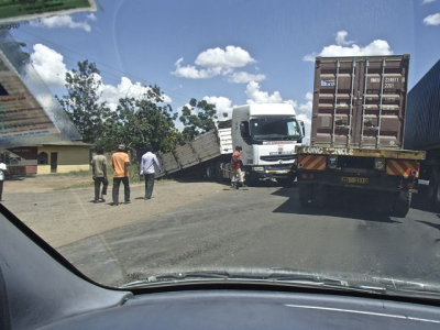
We knew more about the road when we were going south from Kitengela to Mombasa. The road we had driven a few times before and we knew about the condition and we knew about the traffic. Fatma was busy with studies onwards one o?clock, but then we could enter the Mombasa Highway. Traffic was big, we knew very well, approx. 90 % of the traffic is heavy transport. For some reason, heavy goods vehicles are not allowed to drive faster than 80kmt, but even empty they got very few that speed. We did have a sort of “stop ? go? stage as we reached the lorries ( I’ve only seen semi trailers here ) to take over where possible. Overtaking is a black chapter in the culture of the roads in this country, many do overtake with the risk of their own and others’ lives. In particular, we did experience after dark. Otherwise, the scenery along this road many places very beautiful, it is possible on a clear day to see Mt. Kilimanjaro from the road. As we drove through two national parks, Tsavo, it was also possible to see wildlife from the road. We saw at least two elephants .
After 7 ½ hours drive and 450 km we were finally in Mombasa, it was a quick meal in town before we stayed at a decent hotel outside. The entertainment at night was a real thunderstorm. It was humid and hot so we did sweat well. Coast is sweating!
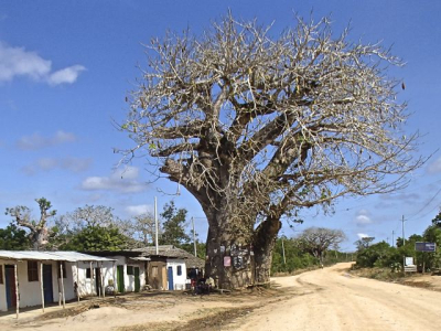
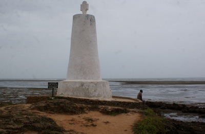
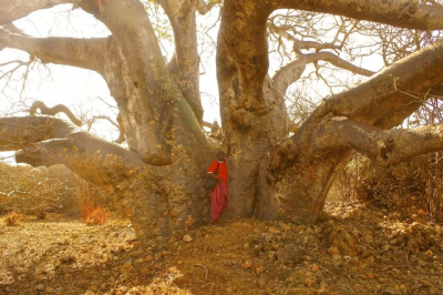
The next day was the hotel breakfast by the pool, but it was still raining The hotel was located in the district of Nyali, where the “Little Mogadishu” is. We did pass by, but Somali refugees have worked out okay there. Rumour say that pirate money were invested in nice houses in this neighborhood. We now ran along the north coast of Mombasa. The hotels were lined up and invited to vacation life. Eventually we came more into the country and drove along the vast sisalfields with baobab trees scattered in between. We drove along the coast, but had no sense of it. Kilifi and Malindi were the next two towns. Malindi has the best pizza in Swahili coast. The Italian tourists were very visible. It is alleged that in Malindi, you can survive better with Italian than English. The Italian mafia is alleged to have managed to find good investment opportunities in the area. Malindi is still an swahili town with many mosques and Vasco da Gama monument.
The road ahead was interesting , because now we drove along to the coast. There were salt extraction was happening. From Malindi to Garsen, the town we were going to turn right, it is 110km . We thought it was going to go on a little over an hour. It did not. As we came north, the road was worse and worse . Tarmaced road started to get big potholes, and it was much driving to avoid the big holes. Buses and trucks just swept over. It was a test of patience. At least we did approach the Garsen junction and could embark on the 112km to Mokowe, ferry port to Lamu .
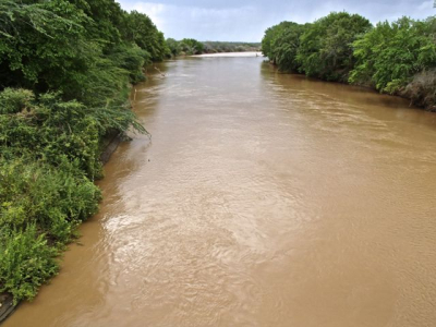
The town of Garsen is situated at the mouth of the River Tana, Kenya’s largest river. Tana delta is not the most beautiful area in Kenya, there is a lot of bush vegetation and completely flat . Here is the haunt of large amounts of hippos and crocodiles that constantly fighting a battle for supremacy in the river. As a rule, the hippos dominate. They constitute a traffic hazard at night, but we saw no hippos. However, we saw something else that made us reflect.
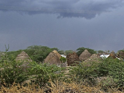
This area was 10 years ago, a highly controversial area. Two of the tribes that lived in the area, orma and pokomo were at war with each other for natural resources. Orma tribe is a kustich tribe that were cattle nomads ? like the maasai. They built beautiful houses that protected well against rain. Pokomo – people is a mijikendatribe ( Bantu ) who were gatherers, fishermen and farmers . The conflict was bloody, but it was sorted out in. Now orma and pokomo children are sent to the same schools. In this area there are also a few other tribes that live, and turmoil often caused conflicts between tribes.
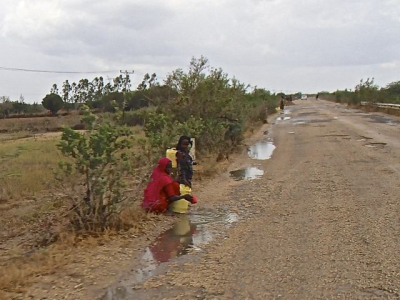
It had rained and the holes in the road had accumulated water. We did see people along the roadside with buckets and cups to collect this rain water. What we also did see was among orma people it was only women who did this, while among pokomo people were there both sexes who collected water. This made it clear to us that the water was in short supply in the area, but also that there were two different cultures. Orma culture is probably the most conservative of them. You can say about most of the nomadic cultures they are concervative, they are proud people. Do not come here to talk about equality – not even on March 8th!
The last way from Garsen to the coast were mostly dirt road, and I mean real dirt road so the speed could be set up. I commented to Buda that there was a small lake called Lake Kenyatta on the map. I asked how that could be? It was land that the first president had given a friend from his own tribe, a Kikuyu, and in gratitude gave the pond name after the donor. It has been a lot of this in Kenya. Those in power just giving away land to friends and acquaintances. In this area there have been problems with tse–tse flies. We reached it until Mokowe early afternoon and ferry to Lamu. This day we had just driven 370km.
Homeward
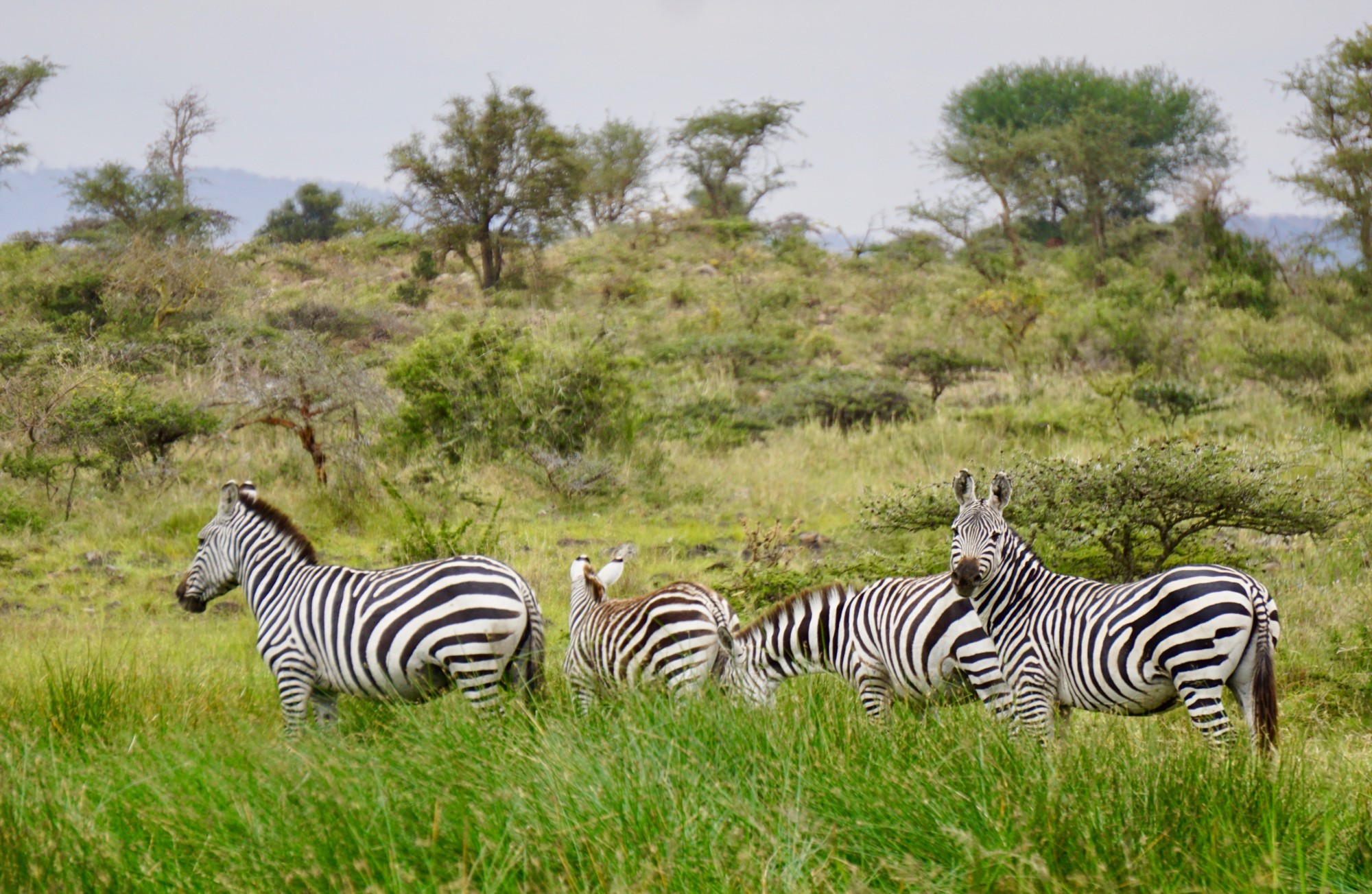
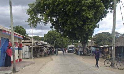
Two days later we stood again in Mokowe and enabled us to return home. The car had a flat tire. Buda suspects that someone could have done it on purpose to make money, but he got a guy to pump up the tire – and so we went. We refilled once on the way home, that was all. On the stretch to Garsen, we saw a giraffe and warthog (an African wild pig). Otherwise, this landscape was beautiful, but it was not many people living here. It‘s a project with a local safari in the area. Well arrived to Garsen, we drove into the town to buy some food. We had barely supplies, but just enough water. We would now drive 200km through a rather barren landscape along the Tana River.
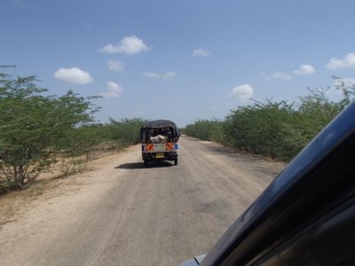
We chose to drive this road because it was 100km shorter and the tarmac road started accordng to Buda at a town called Hola. The tarmaced road was built in 1996 in President Moi’s time. From Garsen we continued the road from Malindi with many potholes, deep holes, so we had to be careful. Gradually disappeared remains of the tarmac complete, we discovered that we were running on a brand new dirt road and the speed increased. This road was very wide, but had almost no traffic. Almost new tarmac and a sign told us that there was a danger of rubble in 30 km! Now it really went away. We hoped that this would only proceed after Hola too.
It was on this stretch that people lacked water. We were stopped several times by people asking for water. We should have understood when we saw how people eagerly collected rainwater on the road a few days earlier. Unfortunately we had only what we needed though.
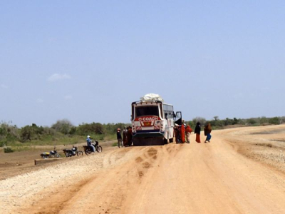
The road from Hola was a disaster. What met us there was one way in complete resolution. The tarmac had split up, the potholes were huge, the road was partially slipped out. Most places people had made primitive detour roads, sometimes far out in the bush. We almost got stuck in the loose sand – no one knows how long it would be of any help would come. 150km and 6 hours we kept on with this. We met two trucks and a car. Moreover, there is a bus from Mombasa to Garissa, so it is some traffic there. Tiring, yes, but in the end we reached Garissa.
How can that happen? Building new road and then forget about it completely. My friends just say: It‘s just so in Kenya. Care must be an unknown word in Kiswahili. Totally forgot it was certainly not. Three places they held on building some new bridges. They were not much use for since people had to run outside anyway. It was only one action possible ? building a new road.
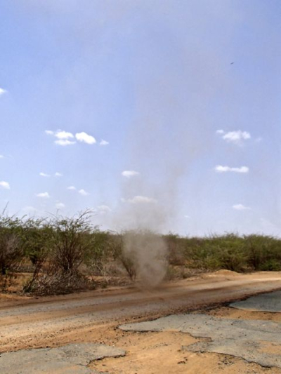
This is a sparsely populated area. There has also been a troubled area for long. There is talk about Tana valley , but some valley we had no sense of running in. It looked really in a semi-desert with lots of shrubs and some few trees – and completely flat.
None of tourist guides have much about the Tana valley . It is far off the beaten track . A book had something about Garissa . This is the unknown Kenya. There is a monkey sanctuary here – it’s probably the only thing related to wildlife .
But there are plans for Tana valley. It will be built new import port at Lamu and from road and rail inward Tana valley on to Garissa. From there will go a branch north to Ethiopia, another northwestward direction Uganda and South Sudan. It will create life and business in parts of Kenya that are currently outside. Incredibly large parts of Kenya are now outside.
Then we will see if something will happen, or if it all eaten up by corruption .
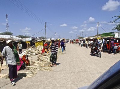
Garissa was a little oasis for us. Food and drink and some rest. We still had 350km left – straight road home, Buda said . And that was it. By Mwingi we witnessed a beautiful sunset – when the mountains were beginning to emerge. Afterwards in the African dark all the way to Nairobi – and home to Kitengela without getting into a single ” Jam “.


Price Of Cialis In Usa Amoxicillin Penicillin Allergy [url=http://costofvia.com]viagra[/url] Cialis Comprar Espana